Hello, welcome to Nanjing Longce surveying and Mapping Technology Co., Ltd!
语言选择:  ∷
∷ 
∷ ∷ 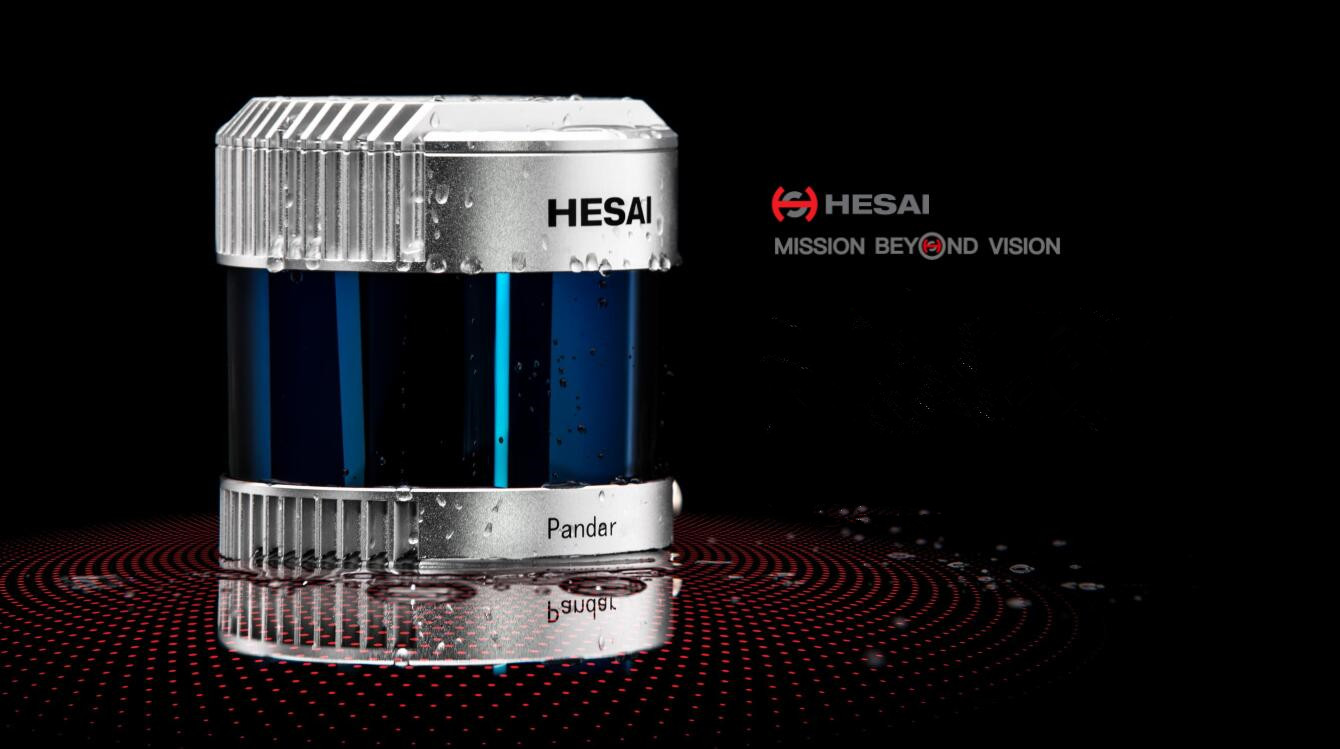
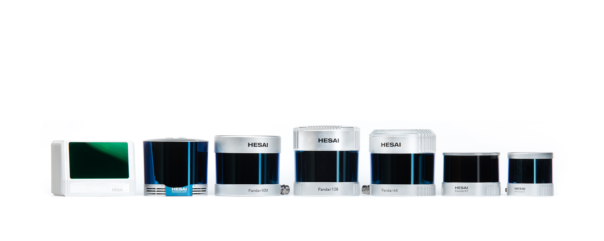
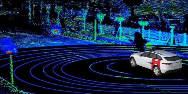


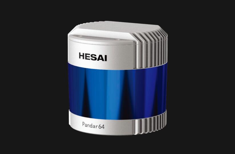
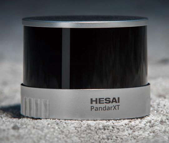


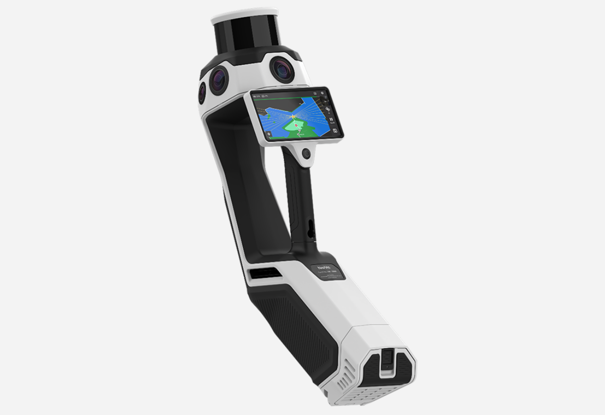
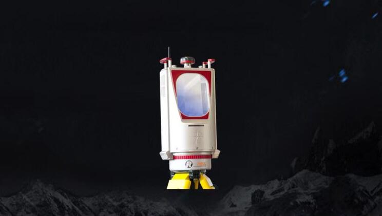
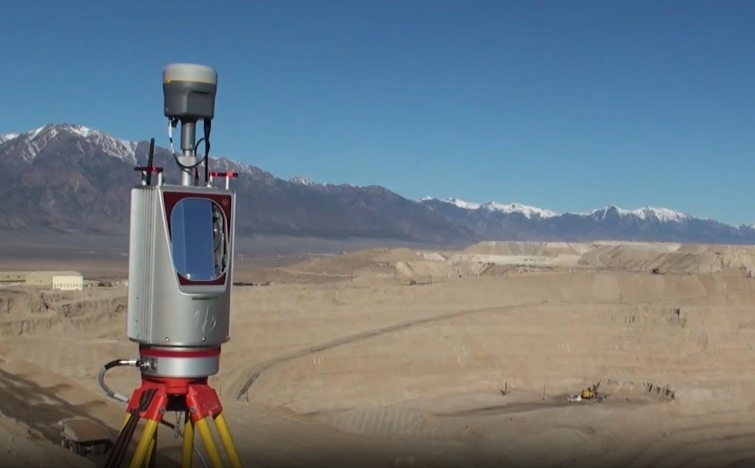
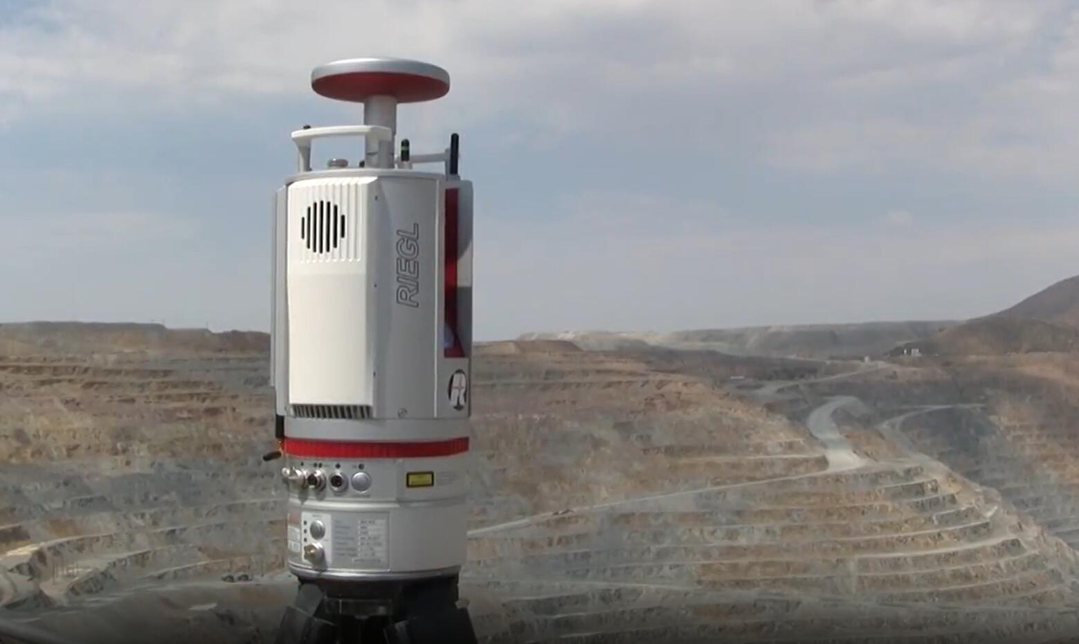
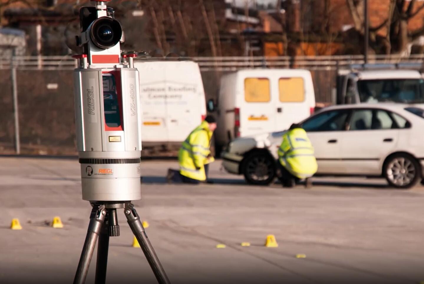
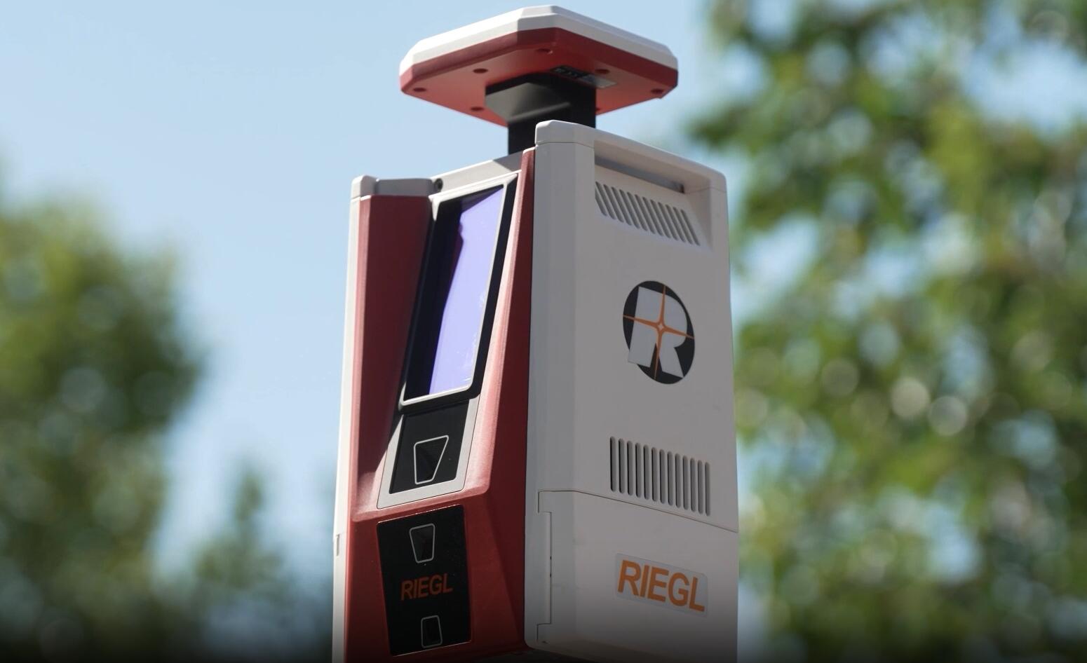
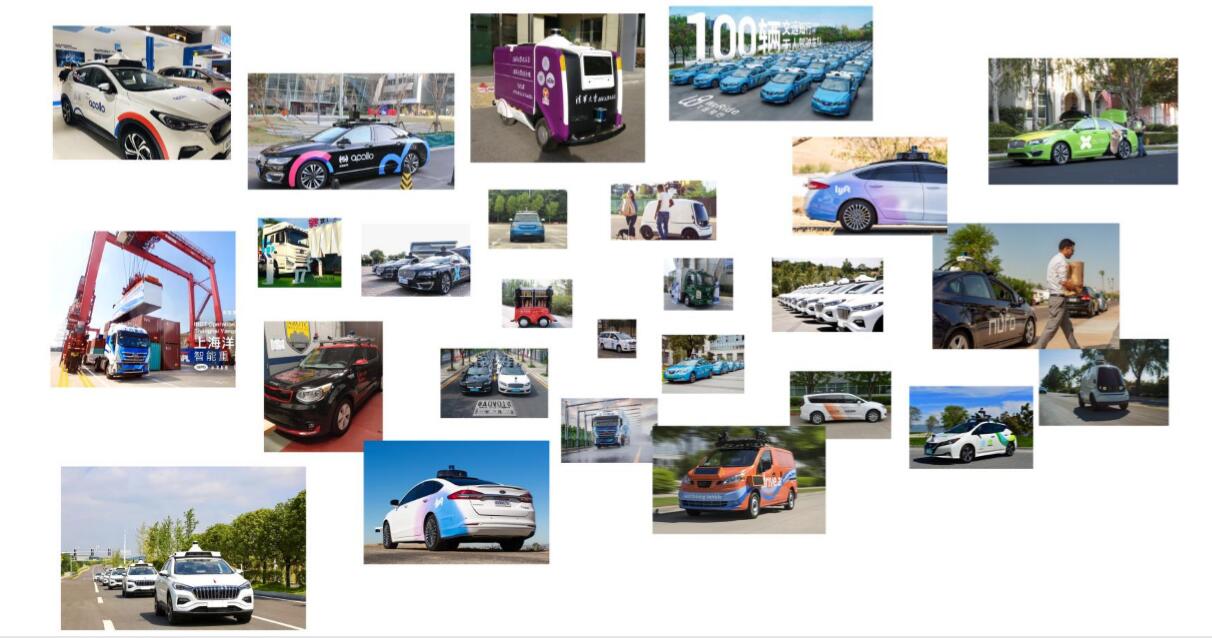
LiDAR (Light Detection And Ranging) is a remote sensing method that uses light to precisely measure distance. A LiDAR sensor rapidly sends out pulses of laser light, which are reflected off surrounding objects. By measuring the time it takes the light to travel to each object and back, the exact distance can be calculated. A LiDAR sends out hundreds of thousands of pulses per second; these measurements are then collected and used to create a 3D model of the environment, called a point cloud.
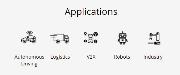
LiDARs can be used for a number of applications, including autonomous driving (robotaxis, passenger cars, trucking, logistics vehicles, etc.), smart city/V2X and robotics.


 Sweep WeChat yards pay attention to us

Quotation and presentation requestliuchunlei@longce.net

The mobile phone+86 13851969931
Nanjing Longce Measurement Technology Co., Ltd Address:No.15 Xinghuo Road, Jiangbei new district, Nanjing,China. ICP:苏ICP备20044645号-1